geoDVR
Geospatial Digital Video Recorders & Mapping Systems
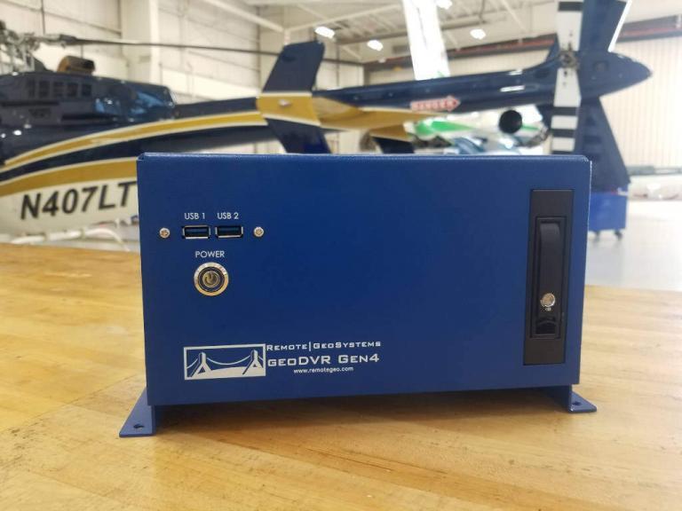
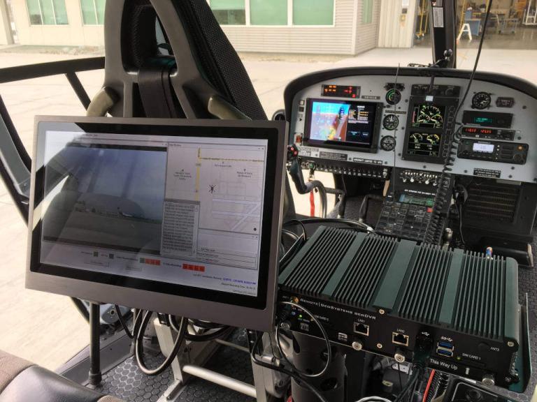
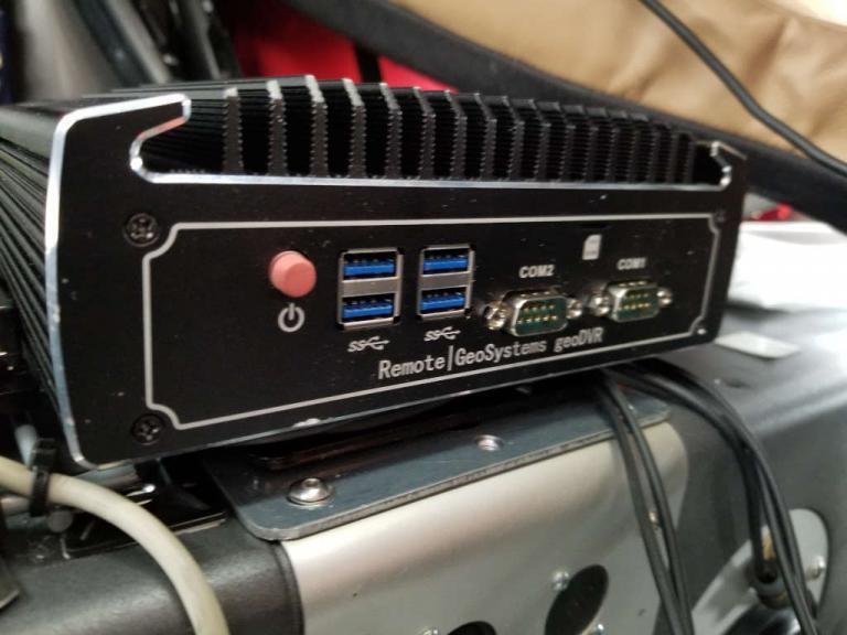
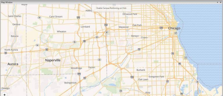
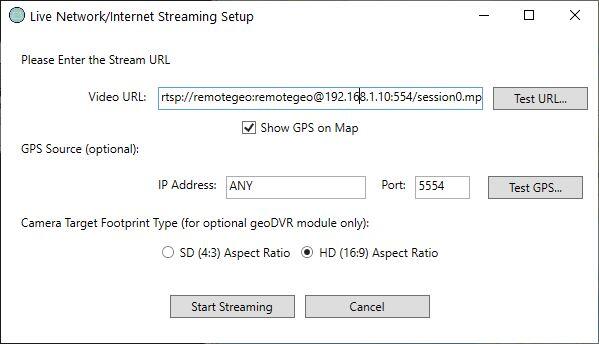
Our geoDVR geospatial digital video recorders and mapping systems are purpose-built for professional geospatial & full motion video (FMV) recording from professional aerial, vehicle and mobile mapping survey platforms.
The geoDVR family of geospatial full motion video recorder systems are based on our patented geospatial media mapping system technology and easily fit into any small or enterprise data collection workflow.
All geo-referenced video files and geotagged photos & waypoints created by geoDVR are compatible and integrated with our LineVision™ suite of mapping applications, offering advanced features for video mapping, asset condition analysis, data management and project reporting with popular GIS tools like Esri ArcGIS, Google Earth and our browser-based LineVision Online.
geoDVR Video Recorder Models
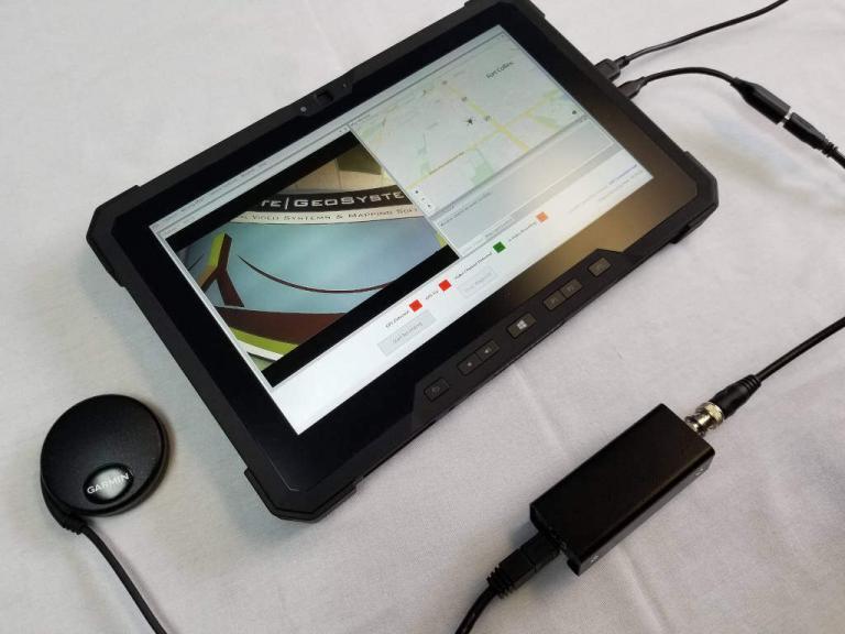
geoDVR Optional Modules
Our optional geoDVR modules offer flexible and scalable capabilities for enhanced in-flight mission capabilities and metadata capture requirements for a variety of geospatial full motion video data collection applications. (Not all modules are available on all models.)


