Home > Recorders > Optional Modules > Camera Target Footprint
Camera Target Footprint
Optional geoDVR Module for Monitoring the Real-time Position of Gimbal Camera Field of View and Frame Target Center on the Ground
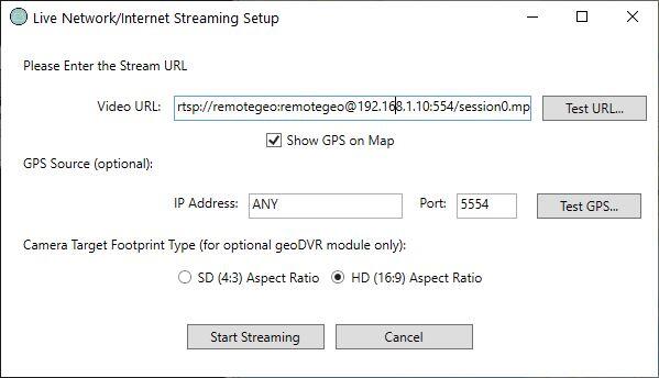
The optional geoDVR Camera Target Footprint (CTF) module enhances the functionality of the Live Moving Maps interface by showing where the gimbal camera is pointing on the ground in addition the aircraft platform location.
The geoDVR Camera Target Footprint module works with a metadata feed from compatible gyro-stabilized gimbal video cameras to display a real-time, dynamically-moving “4-corner box” with the camera frame center and field-of-view represented on the map.
Videos recorded with a geoDVR configured with the Camera Target Footprint module, will also show the camera boresight frame center and bounding box when viewing in our LineVision software both post-flight, as well remotely in real-time when the geoDVR is also equipped with the Live Video & GPS Streaming module.
Please note the Camera Target Footprint is not the same as our MISB FMV Metadata module which records videos with the MISB FMV / STANAG 4609 KLV specification metadata embedded. These two modules may be used in tandem or independently depending your gimbal camera make and model and our current level of integration with the manufacturer.
Share this page with Colleagues & Clients!
Compatible geoDVR Models
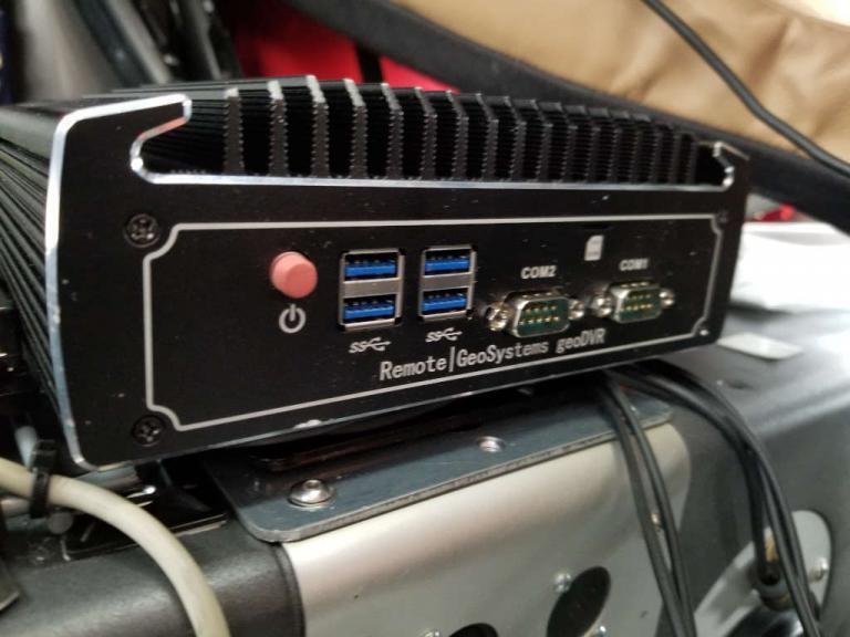
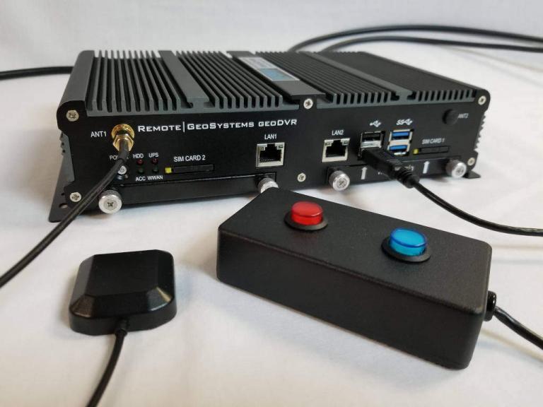
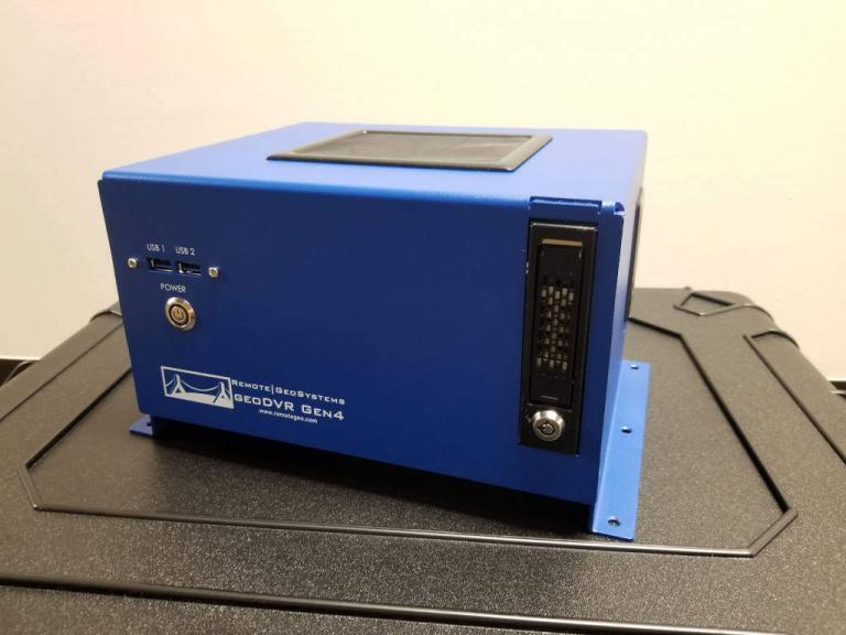
The following geoDVR models offer the optional Camera Target Footprint module.
Other geoDVR Modules
Explore other optional geoDVR modules for enhanced in-flight mission capabilities and metadata capture requirements for a variety of geospatial full motion video data collection applications.


