- Software
-
-
- GEOSPATIAL VIDEO, PHOTO & DATA REMOTE SENSING SOFTWARE
-
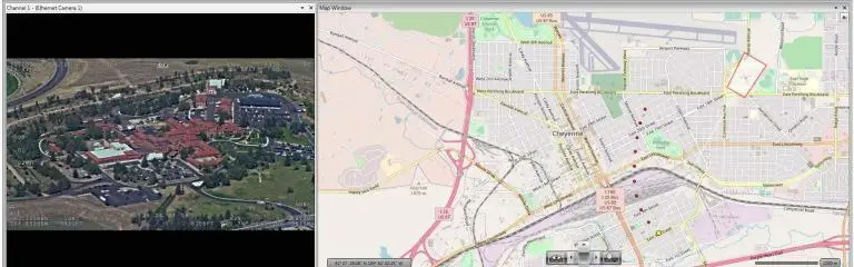
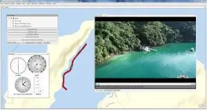
Geotag, Map, Edit, Report, Share & Manage Geospatial Full Motion Videos, Photos and Other Metadata from Inspection, Patrol, Survey & Surveillance Operations
- LineVision Desktop
- LineVision Online
- LineVision Google Earth Extension
- VIDEO GEOTAGGING & EDITING SOFTWARE
-
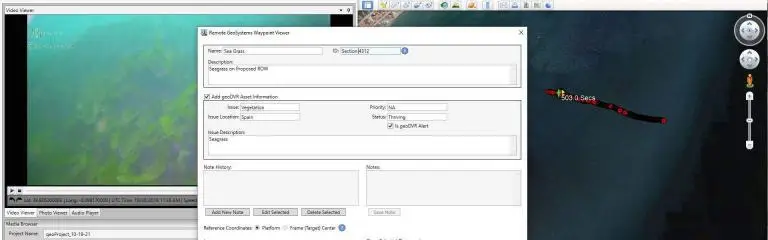
Geotag Video, Interactive Map-based Playback & Geospatial Video Editing
- Video GeoTagger
- Video GeoEditor
-
Get Started
- Buy Software
- Free Trial
- Request Demo
- Account Login
Software Resources
- Videos
- User Manuals
- Sample Data
-
Featured Software

-
LineVision Online
Now available in hosted Professional and Team Editions as well as on-premise Enterprise deployments.
-
-
- Recorders
-
-
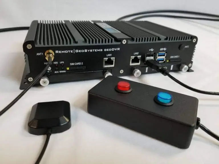
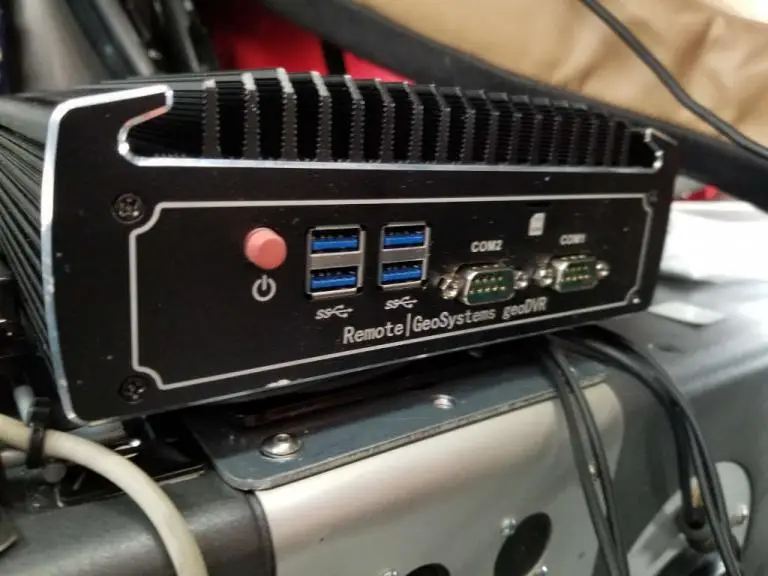
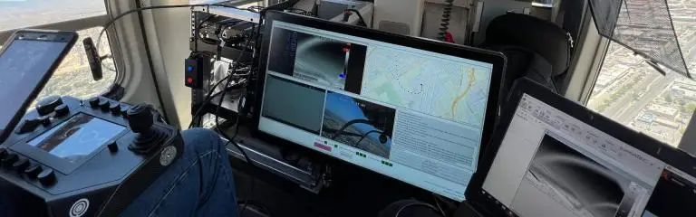
- GEOSPATIAL DIGITAL VIDEO RECORDERS
-
Record Georeferenced Full Motion Video & Audio with Continuous GPS & Other Important Project Metadata with our Patented geoDVR™ Systems.
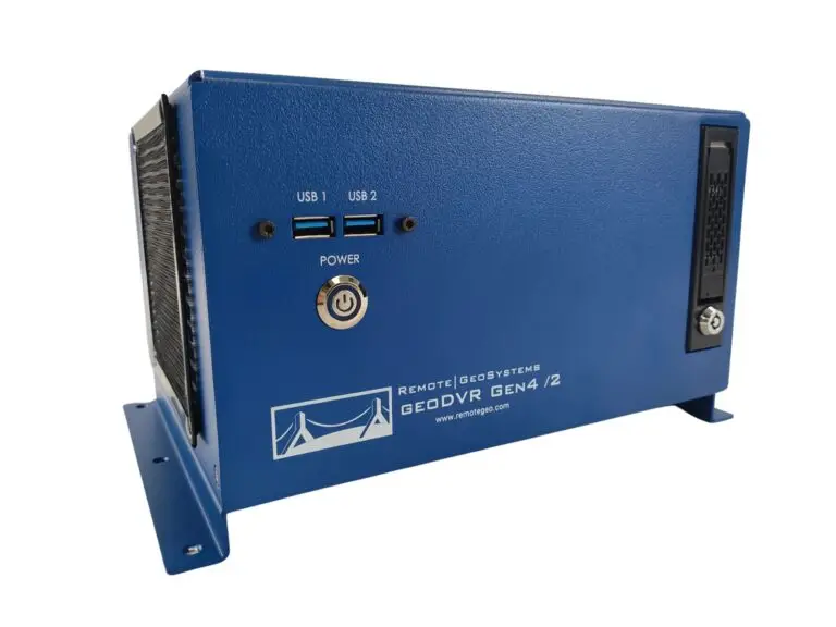
- geoDVR Gen4 /2
- geoDVR Gen3
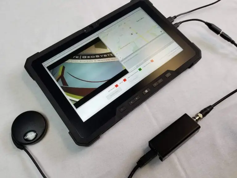
- geoDVR Tablet
- geoDVR Mini
- geoDVR Installations
- GEOSPATIAL DIGITAL SOUND RECORDER
-
Record Georeferenced Audio-only Files with Continuous GPS & Other Important Project Metadata with Our geoDSR™ Systems.
- geoDSR Tablet
-
- OPTIONAL MODULES
-
Enhance your geospatial video and audio data collection capabilities with our optional geoDVR & geoDSR modules.
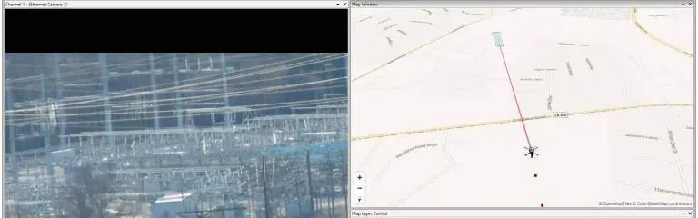
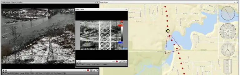
- Live Moving Maps
- Camera Target Footprint
- MISB FMV Metadata
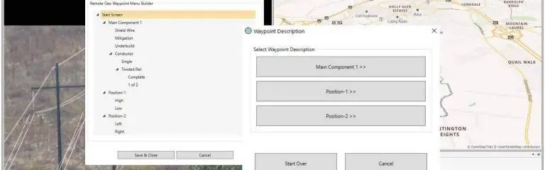
- Drill Down Waypoint Descriptions
- Asset Management & Mission Alerting
- Live Video & GPS Streaming
- DSLR Camera Geotagging
- Gimbal Camera Geo-Pointing
- Nikon Camera Control
-
Featured geoDVR

-
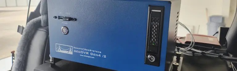
New geoDVR Gen4 /2
Offering professional 4K UHD & HD geospatial full motion video recording – Ideal for multi-camera data collection platforms.
-
-
- Platforms
-
-
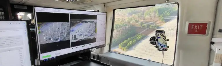
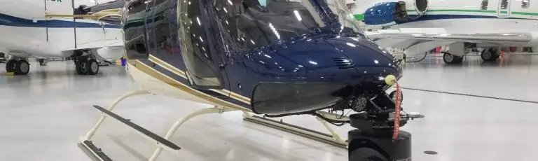
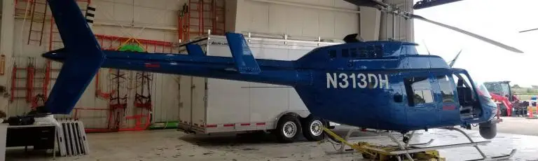
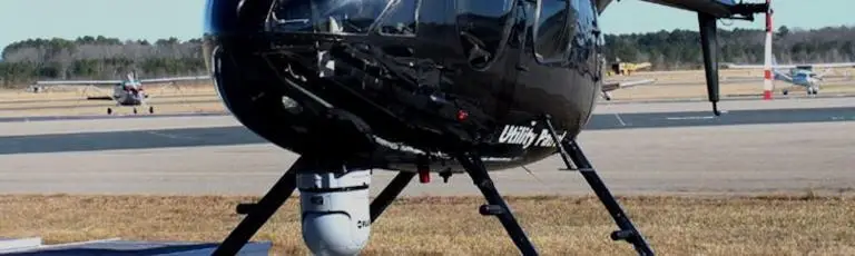
Data Collection Platform Solutions
Our professional geoDVR video recording systems and integrated LineVision software options are ideal for airborne, drone, vehicle, rail & marine survey mapping and surveillance data collection platforms.
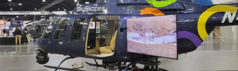
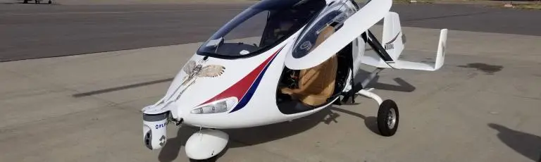
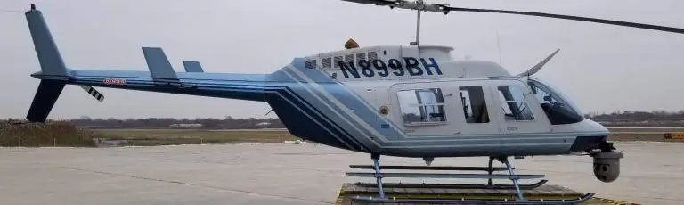
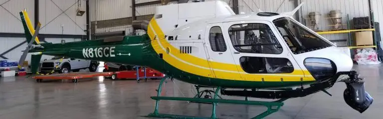
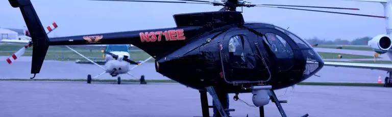
- Aircraft
- Drones & Unmanned Systems
- Marine
- Vehicle
- Rail
-
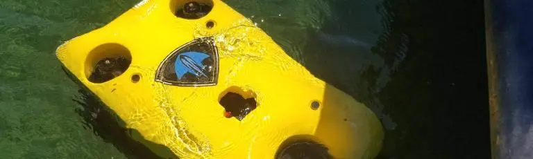
Featured Installation
-
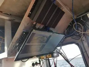
Ballard Marine Construction
geoDVR Gen3 for recording georeferenced video from a VideoRay subsea ROV.
-
-
- Solutions
-
-
Professional Services
- Product Training
- Geospatial Consulting
- Video Software Development
-
Featured Solution
-
DJI Drone Software
Offering professional video and photo mapping software for DJI drone survey and inspection projects.
-
-
- Company